 |
||
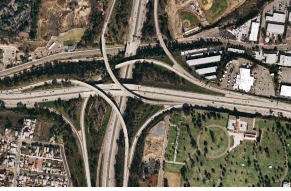
Digital Orthophotography
Digital orthophotography process rectifies aerial photographs to remove distortions caused by:
- The pitch and roll of the aircraft
- Image displacement due to terrain relief
- Radial distortion of the camera lens
A digital orthophoto is a reproduction of aerial photograph, which is fully rectified to remove distortions. The removal of these distortions results in imagery becoming a true-scale representation of the ground, which can be used in software for measurements of length, area and azimuth.
A photographic image is converted into the form of picture elements (pixels) by using scanners with resolutions of desired size. These pixels are integrated with digital terrain models, camera calibration measurements, ground control surveys and aerial triangulation results. Image processing software removes the displacement and generates an ortho image file with newly-positioned raster values. These processed images would then be cleaned for some errors to make a seamless picture of the project area.
 |